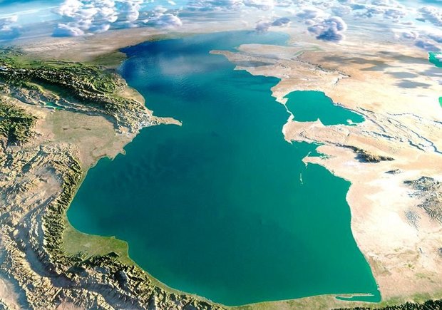
The territory of Iran comprises 1.648 million square kilometres – double the size of neighbouring Turkey and three times the size of France – of which 1.636 million square kilometres is land and 12,000 square kilometres water.
Iran is a mountainous country. The Zagros Mountains bisect the country from north-west to south-east. Many peaks in the Zagros exceed 3,000 metres above sea level. Rimming the Caspian Sea are the Alborz Mountains, which are narrow but high. The volcanic Mount Damavand (5,671 metres), located in the centre of the Alborz, is Iran’s highest peak; on clear days, it can be seen from Tehran.
The central portion of Iran is referred to as the Central Plateau. The eastern part of the plateau is covered by two salt deserts, the Dasht-e Kavir (Great Desert) and the Dasht-e Lut (Barren Desert).
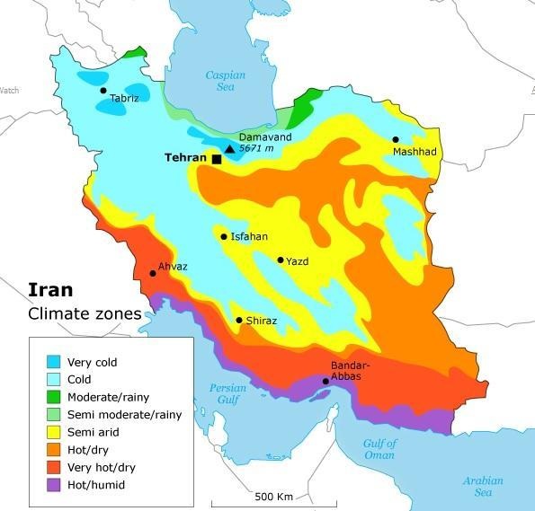
Iran’s climate varies considerably from region to region.
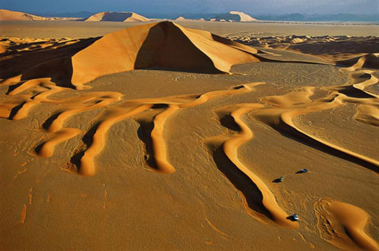
Iran’s Deserts
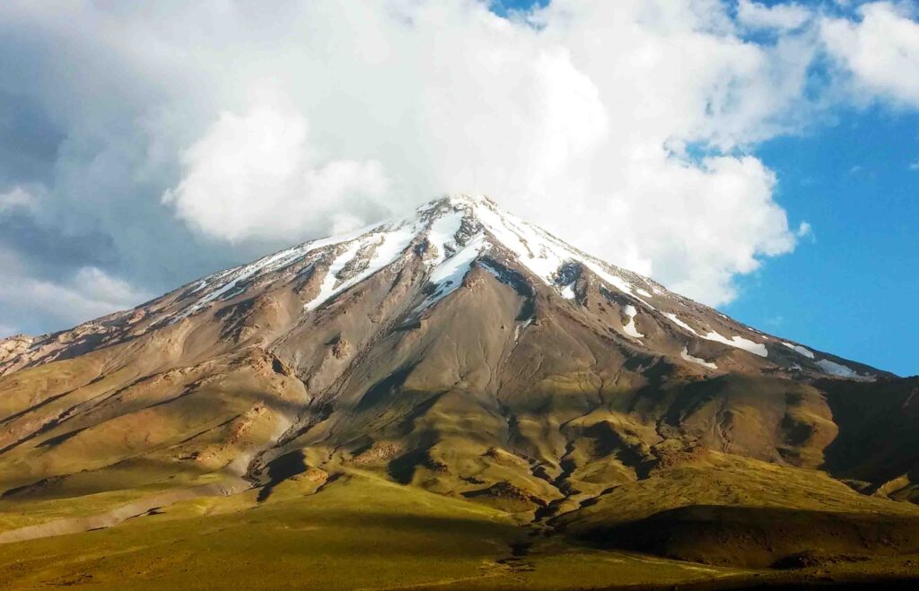
Iran’s Mountains
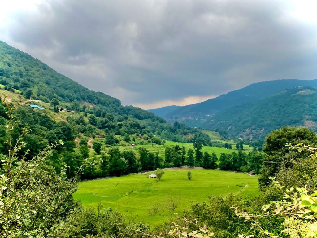
Iran’s forests
